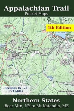
Reseña del libro "Appalachian Trail Pocket Maps - Northern States (en Inglés)"
Major Update for 2018 Northern States - Bear Mtn, NY to Mt. Katahdin, ME The Appalachian Trail Pocket Map Series is a complete and concise set of topographic maps created with digitized base maps covering every step of the 2,180 mile trail from Georgia to Maine. These are not 40 year old scanned USGS topo maps. They are created digitally with the most current data available from U.S. government sources. The land cover, hydrology and contour data used to create these maps has been collected within the last 5 years, presented in a completely uniform manner across all 367 maps. Features for all 3 volumes: + Digitized base maps, not old, scanned USGS maps + 1 overview map of the entire trail + 23 small scale section overview maps with elevation charts, sub-sections + 344 large scale (1:38,500) trail maps with elevation charts, resupply info + Section meta-data with climate, public lands, creeks, lakes, etc + The latest land cover available + Beautiful 3D hill shade + Overview map contour intervals of 1000/200 feet + Trail map contour intervals of 400/80 feet + Decimal degree lat/lng grids only to prevent poor communication + Accumulated trail mileage every mile + Resupply locations within 90 miles of map center + Total of 367 elevation charts on every map Part of a 3 volume set, these 6" x 9" full color topographic maps are designed to stow easily into your pack, without sacrificing the detail required by a hiker in the back country. All 3 Appalachian Trail Pocket Maps volumes are: Southern States, Central States and Northern States.

