Compartir
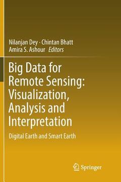
Big Data for Remote Sensing: Visualization, Analysis and Interpretation: Digital Earth and Smart Earth (en Inglés)
Dey, Nilanjan ; Bhatt, Chintan ; Ashour, Amira S. (Autor)
·
Springer
· Tapa Blanda
Big Data for Remote Sensing: Visualization, Analysis and Interpretation: Digital Earth and Smart Earth (en Inglés) - Dey, Nilanjan ; Bhatt, Chintan ; Ashour, Amira S.
$ 209.640
$ 381.170
Ahorras: $ 171.530
Elige la lista en la que quieres agregar tu producto o crea una nueva lista
✓ Producto agregado correctamente a la lista de deseos.
Ir a Mis Listas
Origen: Estados Unidos
(Costos de importación incluídos en el precio)
Se enviará desde nuestra bodega entre el
Viernes 19 de Julio y el
Miércoles 31 de Julio.
Lo recibirás en cualquier lugar de Chile entre 1 y 3 días hábiles luego del envío.
Reseña del libro "Big Data for Remote Sensing: Visualization, Analysis and Interpretation: Digital Earth and Smart Earth (en Inglés)"
This book thoroughly covers the remote sensing visualization and analysis techniques based on computational imaging and vision in Earth science. Remote sensing is considered a significant information source for monitoring and mapping natural and man-made land through the development of sensor resolutions that committed different Earth observation platforms. The book includes related topics for the different systems, models, and approaches used in the visualization of remote sensing images. It offers flexible and sophisticated solutions for removing uncertainty from the satellite data. It introduces real time big data analytics to derive intelligence systems in enterprise earth science applications. Furthermore, the book integrates statistical concepts with computer-based geographic information systems (GIS). It focuses on image processing techniques for observing data together with uncertainty information raised by spectral, spatial, and positional accuracy of GPS data.The book addresses several advanced improvement models to guide the engineers in developing different remote sensing visualization and analysis schemes. Highlights on the advanced improvement models of the supervised/unsupervised classification algorithms, support vector machines, artificial neural networks, fuzzy logic, decision-making algorithms, and Time Series Model and Forecasting are addressed. This book guides engineers, designers, and researchers to exploit the intrinsic design remote sensing systems. The book gathers remarkable material from an international experts' panel to guide the readers during the development of earth big data analytics and their challenges.

