🔥 ¡Corre que vuelan! Venta Flash Zig-Zag con hasta 70% Dto  Ver más

Enviar a
Santiago, Región Metropolitana
0
  • argentina
  • chile
  • colombia
  • españa
  • méxico
  • perú
  • estados unidos
  • internacional

Selecciona tu país

América

Europa

Resto del mundo

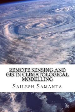
portada Remote Sensing and GIS in Climatological Modelling (en Inglés)
Formato
Libro Físico
Editorial
Idioma
Inglés
N° páginas
160
Encuadernación
Tapa Blanda
Dimensiones
22.9x15.2x1.1 cm
Peso
0.22 kg.
ISBN13
9781500258504

Remote Sensing and GIS in Climatological Modelling (en Inglés)

Sailesh Samanta (Autor) · Createspace · Tapa Blanda

Remote Sensing and GIS in Climatological Modelling (en Inglés) - Samanta, Sailesh

Libro Nuevo Importado
Envío: 17 a 22 días háb.
$ 82.560$ 41.280
-50%
Costos de importación incluídos en el precio ✅
Libro Nuevo

Quedan 100 unidades

$ 41.280
Llega entre el 13 Oct y el 20 Oct a Santiago, Región Metropolitana. Seleccionar ubicación

Reseña del libro "Remote Sensing and GIS in Climatological Modelling (en Inglés)"

This book presents an introductory course of study in Remote Sensing and Geographic information systems (GIS) and its application for climatological modelling. Remote Sensing, GIS and spatial modelling are becoming powerful tools in agricultural research and natural resource management. Spatial information about climate variables is very important for a sound agricultural planning. Many disciplines use these climate variables (temperature, precipitation, atmospheric pressure, cloudiness and humidity) as a basis to understand the processes they study. Evidently the information is limited to the available meteorological stations and therefore to discrete points of the space. To understand the weather and climatic condition over a continuous space (where weather or climate station is not present) one needs to resort to the modern techniques like spatial interpolation by GIS. So far the work on climatological interpolation dovetailed to themes like 'commercial agriculture' has been scanty. This book is focused on statistical model to forecast the temperature and the precipitation using remote sensing and geographic information system (GIS) techniques. It also examines statistical approaches for interpolating climatic data over large regions, providing different interpolation techniques for climate variables for use in agricultural research.

Opiniones del libro

Preguntas frecuentes sobre el libro

Todos los libros de nuestro catálogo son Originales.
El libro está escrito en Inglés.
La encuadernación de esta edición es Tapa Blanda.

Preguntas y respuestas sobre el libro

¿Tienes una pregunta sobre el libro? Inicia sesión para poder agregar tu propia pregunta.

Opiniones sobre Buscalibre

Ver más opiniones de clientes