Reseña del libro "banff south (en Inglés)"
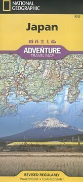
- Waterproof - Tear-Resistant - Travel MapExplore the Land of the Rising Sun with National Geographic's expertly researched Japan Adventure Map. The user-friendly design combined with unparalleled detail provides adventure travelers the ultimate tool for exploring this island nation. Coverage includes the four main islands of Hokkaido, Honshu, Shikoku and Kyushu, as well as the southeastern tip of the Korean Peninsula. Inset maps cover Okinawa and many of the other Ryukyu Islands. Some popular destinations include the cities of Tokyo, Kyoto and Nara, Mount Fuji, the Hiroshima Peace Memorial and Himeji Castle. The map is the perfect compliment to National Geographic's Japan Traveler Guide or any other guidebook.Hundreds of highlighted cultural, historical and recreational points of interest, including UNESCO World Heritage Sites, National Parks, botanical gardens, castles, churches, Buddhist temples, Shinto shrines, caves, waterfalls, hot springs, ski area and beaches, will guide you to popular tourist hot spots as well as to hidden gems away from major tourist hubs. Cities and towns can be easily found with the help of a clear and convenient index. A road network complete with distances and designations for motorways, expressways, major roads and secondary roads, will help find select a suitable route, including one off the beaten path. Other transportation features include airports, ferries routes, harbors, railroads and high-speed trains.Every Adventure Map is printed on durable synthetic paper, making them waterproof, tear-resistant and tough -- capable of withstanding the rigors of international travel.Map Scale = 1:1,300,000Sheet Size = 37.75" x 25.5"Folded Size = 4.25" x 9.25"

