Compartir
Mapping the NC Coast: Sixteenth-Century Cartography and the Roanoke Voyages (en Inglés)
William P. Cumming
(Autor)
·
North Carolina Division of Archives & History
· Tapa Blanda
Mapping the NC Coast: Sixteenth-Century Cartography and the Roanoke Voyages (en Inglés) - Cumming, William P.
$ 17.950
$ 29.920
Ahorras: $ 11.970
Elige la lista en la que quieres agregar tu producto o crea una nueva lista
✓ Producto agregado correctamente a la lista de deseos.
Ir a Mis Listas
Origen: Estados Unidos
(Costos de importación incluídos en el precio)
Se enviará desde nuestra bodega entre el
Miércoles 29 de Mayo y el
Lunes 10 de Junio.
Lo recibirás en cualquier lugar de Chile entre 1 y 3 días hábiles luego del envío.
Reseña del libro "Mapping the NC Coast: Sixteenth-Century Cartography and the Roanoke Voyages (en Inglés)"
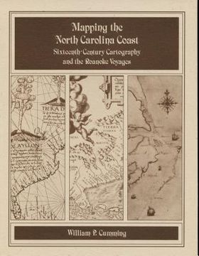
Historical survey that examines the cartography known or available to the English colonists of 1584-1587 as well as that which they produced during their explorations. Includes twenty-eight map plates printed on high quality coated paper, the author's notes, and a useful appendix that lists sixteenth-century names for the southeastern North American coast and correlates them with modern names and landmarks.
- 0% (0)
- 0% (0)
- 0% (0)
- 0% (0)
- 0% (0)
Todos los libros de nuestro catálogo son Originales.
El libro está escrito en Inglés.
La encuadernación de esta edición es Tapa Blanda.
✓ Producto agregado correctamente al carro, Ir a Pagar.

